Aerial photographs of Detroit from 1949, 1956, 1961 and 1967, laid over the modern city.
Drag a divider across the map and watch neighborhoods, freeways and farmland change underneath it.
No sign-up·Native film resolution, 0.6 m per pixel·Best on a laptop or desktop
Try it here
Drag across the picture
19491961
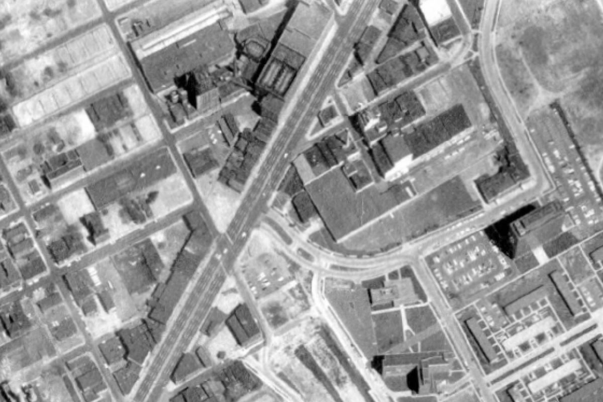
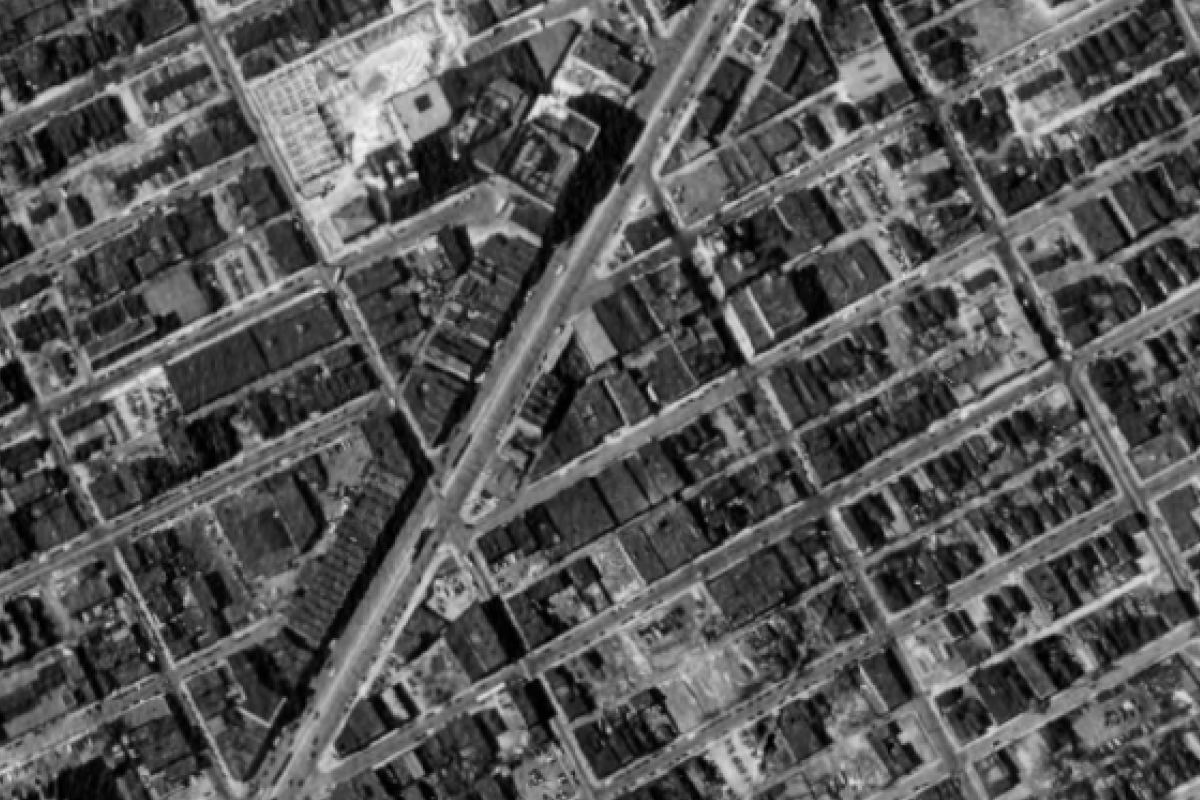
Hastings Street, downtown. In 1949 this is Black Bottom, one of the city's densest
neighborhoods, with Gratiot Avenue running through it. By 1961 most of these blocks are gone,
cleared for urban renewal and the Chrysler Freeway.
19492022
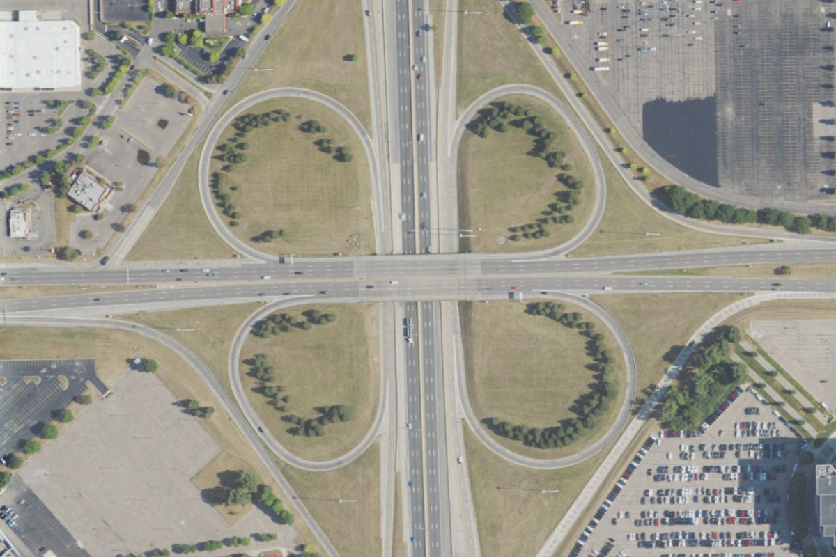
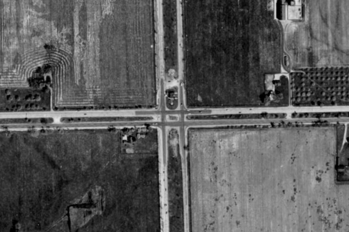
Ford Road at the Southfield Freeway. A crossroads between fields in 1949; the
north–south road is where the freeway will go. Today it is a cloverleaf.
In the survey you can do this anywhere across West Detroit and downtown, between any two years.
What's in it
Seventy-five years, on one map
The film
1949195619611967
About 230 aerial negatives from the DTE Aerial Photo Collection at Wayne State University, joined into one continuous picture per year.
The modern city
1998200520102012–2022Today
The City of Detroit's orthophotos, USDA aerial imagery every two years, and today's view from Esri's World Imagery.
Places
29 researched pinswith lifespans
Buildings and streets that came and went, each dated. Click any spot on the map to see it in every year at once.
Downtown
194919561961Today
A separate scene of the core and the riverfront, from Black Bottom to Campus Martius.
How it was made
From loose negatives to one map
The photographs were never meant to line up with anything. Each negative is a separate
picture from a plane flying north–south lines over the city, and the only record of
where each one was taken is a catalog position that can be hundreds of meters out.
1
Fetch the scans
Every negative, at full scan resolution, from Wayne State's digital collection.
2
Solve the block
COLMAP, a photogrammetry tool, ties each year's negatives together through thousands of matched features and works out every camera.
3
Place it on the map
One smooth correction per year against modern imagery, chosen only if it holds up on ground it was never fitted to.
4
Measure everything
Every layer is checked against every other layer, and the checking tool is itself tested with a known, planted error first.
How close
Accurate to a few meters
2.8 m
1961
3.3 m
1967
4.4 m
1949
7.2 m
1956
The typical distance between a street in the old photograph and the same street in modern
imagery that was never used to place it, measured across the whole area.
On a residential street that's about the width of a front yard.
1956's western and northern edges were farmland that is suburbs now, and can't be checked the same way.
Questions
Good to know
Where do the photographs come from?
The 1949–1967 film is from the DTE Aerial Photo Collection at Wayne State University. The modern layers are the City of Detroit's orthophotos, USDA's National Agriculture Imagery Program, and Esri's World Imagery for today.
Does it work on my phone?
You can open it, but it's built for a bigger screen: the controls along the top want a laptop or desktop. A tablet in landscape works.
Why don't the downtown buildings line up?
Tall buildings lean in aerial photographs, and differently in every photograph depending on where the plane was. The ground lines up to a few meters; the rooftops can't. Follow the streets, not the roofs.
Why does the picture shift a little when I wipe?
Every layer is placed independently, the modern ones by their own publishers, so two years can disagree by a few meters. Between the film years it's typically 4–6 m. The survey's source code includes the measurements behind every figure on this page.
Can I use the images?
The historical photographs belong to the DTE Aerial Photo Collection; ask Wayne State University Libraries about reuse. The code that places them on the map is on GitHub.
Historical photographs: DTE Aerial Photo Collection, Wayne State University.
2022 imagery on this page: USDA NAIP.
 19491961
 19492022